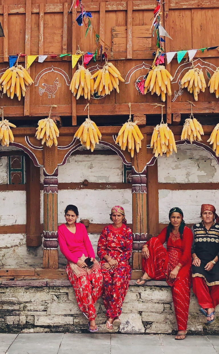
From Tree of Life Mussoorie, one can enjoy a thrilling weekend summit.
We’ve all heard that summits are a great way to end a trek. Treks like Deoriatal – Chandrashila and Kedarkantha are popular because of this. There is nothing like the rush of a summit climb on a trail like Nag Tibba, where you can experience it in just a few days.
On the Nag Tibba range of Garhwal Himalayas, this trek’s summit stands at 9,915 ft above sea level. Swargrohini, Bandarpoonch, Kala Nag, Srikantha, and Gangotri are all visible from this vantage point. Additionally, you can see the Kedarnath peak in the north, Doon Valley, and Changabang’s snow peaks. This weekend hike may be one of the best because of the spectacular views and the challenging ascent.
As you travel up and down the mountain, you’ll see a variety of scenery along the way. This trek takes you through thick forests, open areas, and a ridge walk. Isn’t that incredible?
For trekkers in Delhi and the National Capital Region who are looking for a weekend adventure, this trail near Mussoorie is a great option. This trek is a great introduction to the world of trekking for novices.
What to Keep an Eye on
A campsite’s view of the sun setting
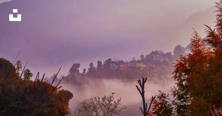
If you’re looking for a spectacular sunset, this is one of the few treks we offer. This is due to the trail’s orientation. Mountain ranges like Swargarohini and Bandarpoonch light up in a fiery orange on a clear day, as do Kalanag and Srikanth in Uttarakhand. You look down and see a sea of clouds swaying in the sky. To see this sunset, you don’t even need to get out of your car and hike up a hill. It’s right in front of you at your campsite!
If your group’s fitness, weather conditions, and snowfall are favourable, your Trek Leader will make the final decision on whether or not to descend from Bhatwadi or retrace the route back.
Nag Tibba’s summit day is a long one, but it’s worth it. As soon as you reach the top, you begin your descent to a village called Bhatwadi. You won’t be disappointed with the scenery along this route. The clearing of Moriana, where a stream flows on one side and a few shepherds’ huts can be seen on the other, is reached an hour into your descent. This area is completely encircled by lush greenery. It’s a great location for taking pictures!
From here, the trail continues along the streamside in a lovely forest. The beautiful trail comes to an end after an hour or so when you enter the farmland.
The Nag Tibba trek is frequently asked about by trekkers:
Saurabh Sawant, Indiahikes’ Head of Documentation, has the answers you seek.
❖ How long is the Nag Tibba hike?
Over the course of two days, the Nag Tibba trek covers a distance of 16 km. An average distance of 8 kilometres over six hours is what you can expect to cover during the two days.
For first-timers, the Nag Tibba trek’s short distance and high altitude (9,914 ft above MSL) make it an excellent choice. Trail time goes by quickly because of the breathtaking views and scenic route.
❖ How can I travel from Delhi to Nag Tibba by bus?
Public transportation is available from Delhi to Nag Tibba via Dehradun.
Dehradun is accessible by train and bus from Delhi. The Nanda Devi Express or Shatabdi Express are the best options if you want to travel by train to Dehradun. There is a long history of delays on the Mussoorie Express.
From Delhi’s ISBT Kashmiri Gate, you can also take buses to Dehradun. An AC Volvo bus ticket costs Rs. 700 and the trip takes 7-8 hours.
Indiahikes will arrange transportation from the Hotel Grand Legacy in Dehradun to the Panthwari base camp of Nag Tibba for those who have signed up for the trek.
From Dehradun railway station, take a bus to Nainbagh to get to Panthwari on your own. The 3.5-hour journey will cost around Rs. 150. From Nainbagh, you can take a shared cab for Rs. 50 to Panthwari.
In the ‘Reaching the basecamp’ section, you can learn more about how to plan your journey to Nag Tibba.
❖ Do you know how difficult it is to trek to the top of Nag Tibba?
The Nag Tibba trek is moderately difficult. Beginners, families, and children alike will enjoy this weekend adventure. With a maximum elevation of 9,914 ft, the trek is mostly flat, with some steep sections.
Despite this, it is still a difficult Himalayan trek due to the terrain, climate, and other factors. When it comes to completing the trek, proper layering, the use of proper gear, and a healthy level of fitness are essential.